Mt. Taylor Quadrathlon is coming up. It seems in these last few weeks that I've been trying to cram as much physical activity as possible into a day to make sure I have the endurance for the event. This has involved combinations of biking/running to and from work, running/walking with Molly, and then running or nordic skiing around City Park Golf Course in Denver. On top of snowboarding. With the recent dump, I can skate ski from Colfax up to 17th street and then down the grass of the wide boulevard all the way to City Park. I've seen one other person out skiing at 9pm and it makes the park a sort of urban reserve for me.
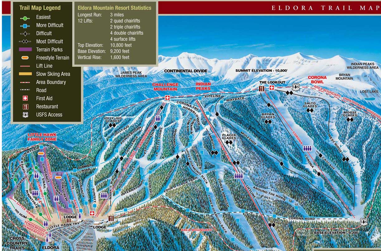
I leave for Atlanta on Monday to attend the CDC's FoodNet Vision Meeting, return Thursday, and then literally get in a car with Elisabeth and go to New Mexico for the quad. Tomorrow Bailey and I are planning on taking a telemark lesson at Eldora so today was my last chance of getting a nordic ski in before the quad. Not only that, but also it's my first time trying out my homemade ski skins and recently Craigslisted snowshoes that will be used on Mt. Taylor.
JD unfortunately had to work, but Bailey and Maureen were eager to check out a trail nearby. JD and Maureen have a 'local' attitude, in that they really detest traveling in their car for more than 2hours for a weekend or day excursion. I operate under the following rules which can be summarized in graph form:
 You see, my willingness to drive somewhere is directly related to the awesomeness (views, lack of people, technical ability) of the place. The better a place is, the more likely I am to drive to it. HOWEVER, if that place involves driving I-70 on a sat or sun, I am incredibly UNLIKELY to go, even if it is a short drive mileage wise. Because it NEVER is time wise. I'm also not usually up for driving to a place that isn't in an adjacent state, and on the CO/said state border at that. Also, if a long trip can incorporate multiple activities (camping, hiking, mt. biking, etc.) Then I'll also consider the long drive a win.
 I chose the Sourdough Trail for us today. Mostly because 1) It allows dogs 2) It's free (unlike Brainard) and 3) It wouldn't be crowded (unlike Brainard). Brainard Lakes is pretty, but unless you're going during a weekday, blizzard, or at full moon, expect to have a DMV line for trails and limited Parking.
By contrast, we got to the Sourdough Trailhead around 9:30 and were one of 6 cars. We did the gear up, the ski waxing, and Bailey dawned my ginormous Garneau snowshoes I found for $40 on Craigslist. I'm not a big fan of snowshoeing, which I will explain at a later date, so I enlisted Bailey to be my snowshoe guinea pig while I tried out my ski skins.

Maureen and Bailey prepare for departure
The Sourdough Trail is accessible from both North and South. Some people like to leave a car at one TH and ski to the pickup, while others do the complete 11.6 mile out and back. We decided to to the latter. A great description of the trail can be found here.


South TH sign and Bailey and Molly ready for action. Note giant snowshoes.
The trail begins with a moderate rise, winding up through a dense forest of lodgepole. Molly was initially going to stay with Bailey -- or so our plan went. She of course was excited by the faster paced skis in front of her and darted ahead, leaving Bailey with all the dog supplies and a calm quiet snowshoe on her own. This proved problematic 1/2 mile ahead when Molly decided to fecally mark the trail and necessitated a ski back down and up for 'poo bags'.
There are some windblown and barren spots along the bottom first 2 miles of the trail, but snow has been packed and loaded by the amount of traffic that there is a snow surface for ski contact. After a particularly open spot the trail bee lines and begins a series of switchbacks, one of which I was almost taken out on by an alpine tree skier. I had lost Maureen at this point, having stopped on these steeper switchbacks to fasten my skins to my skis...they worked beautifully! I could glide, I couldn't slide, I could do no wrong!
We had started on the trail just after a group of people and upon dawning my skins I was able to catch up with them and make some chit chat. Unfortunately, at this point, my skins failed me. The small pieces of tin can I had used as rivet fasteners for the skin and strap bent under my force on a downhill section and caught in the snow, preventing any forward motion. I tried to bend them back into place, but this only worked temporarily. Frustrated, I took note and removed the skins.
After this, the trail does a quick descent down a single track and then begins ascending up towards Niwot Mountain. At the bottom of the descent is a steep sudden but small hill you'll have to herringbone or side step up. A few hundred yards farther and you happen up another sign, which feels a lot farther than 0.75 miles in:

It's at this point that the trail takes on a rolling nature to the bottom of Left Hand Creek and the Peace Memorial Bridge that spans it (2.5 mile mark). Beyond the bridge, the trail takes on less of a friendly and wide look, opting instead for a single set of ski tracks to follow. This proved rather hard, especially when trying to pass the group of skiers in front of me to find Maureen. I ended up playing leap frog with them on the rolling portions, and trying to charge past a few on the uphill. I found Maureen at the bridge waiting for me and the group let us pass. Beyond the bridge there are several steep switchbacks before the trail opens up into a mountain meadow with thinned forest around it (4.0 mile mark). Maureen and I stopped for a quick snack and de-snowing of Molly's paws before continuing on.

The trail turns to steeper single tracks beyond the bridge.
We had told Bailey we would meet her in an hour and the steepness combined with thinness of the trail had proved a slow going. Maureen and I made the executive decision to turn around and now try our luck on nordic downhill. Falls were guaranteed, but luckily the fluffy powdery surface proved a nice cushion. Maureen and I worked on the step turn.
Unfortunately Molly, being wrapped up in the excitement of being outside, the pace of the skis, and the increasing number of people we passed on the trail down to the car, had forgotten everything she'd learned about skiing with me in the past. She trotted right in front of me and wouldn't move to the side, regardless of my ever approaching skis at her heels. A couple of times I had to bail rather than run her over, and a few times the terrain and obstacles made it so that I had to run her over. Feeling like a bad parent, I attempted to make up for it with petting, kisses, and scoobie snacks.

Maureen, happy but a little hesitant on the skinny trail down. She did great!
I've always been an ice cream/frozen yogurt lover. However, I have to credit Maureen with introducing me to some of the best places in Colorado. When we both lived in Fort Collins, and then when we both lived in the Boulder area, Mahalo Frozen Yogurt was a near-weekly occurrence. Now that she works in the Consumer Protection program for Boulder County, she's constantly inspecting restaurants and thus learning of new tasty places to go. One of these is Ripple in Boulder at 30th and Arapahoe by the King Soopers. It has 16 rotating flavors at any given time. These are strategically paired so that the middle 'mixed' flavor of any two forms a new flavor (example: pineapple and coconut flavors together so the mixed' flavor is piña colada).
They also have great fruit infused water and fresh toppings to go with your yogurt, which you buy by the ounce. They also have a nice rewards punch card. Needless to say, we indulged.
As a final stop before our trip back to Denver, Bailey and I tried to procure a pair of used xc NNN boots for Bailey. She's been slowly piece-mailing herself an xc ski set from used Rentals at Eldora and her old hiking poles with new baskets. Unfortunately, they were out of anything her size that day, but I highly recommend going to the Boulder Sports Recycler at the junction of Broadway and 36 in North Boulder. All the do is carry used outdoor equipment and there was an assortment of nice gear for all types of activities -- skiing, boarding, mountain boarding, mountain biking, kayaking, and car racks. Check them out if you are in the area and don't feel like dropping a paycheck on gear for a new hobby you're looking to try. Maureen got her TREK hardtail there for $100!
